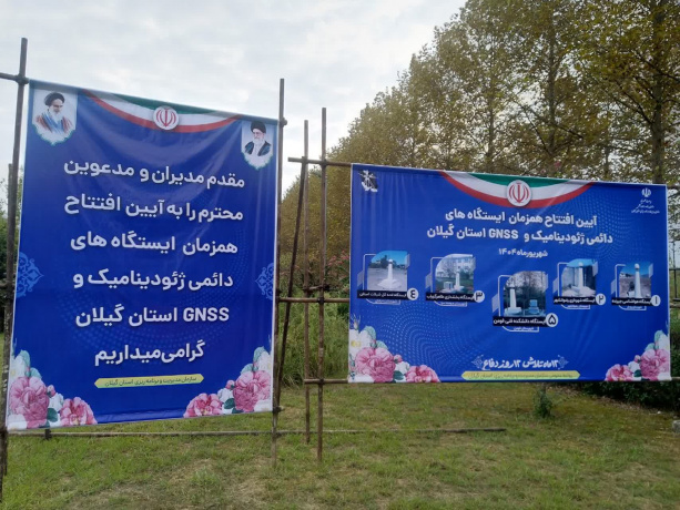
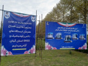
The Permanent Geodynamics and GNSS Station of Gilan Province opened at the Fouman Faculty of Engineering
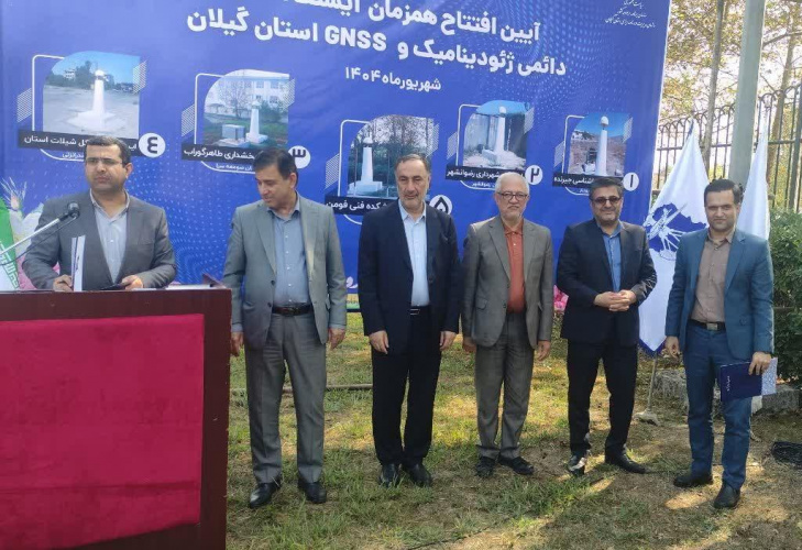
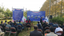
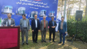
On Sunday, September 7, 2025, the opening ceremony of the permanent geodynamics and GNSS station in Gilan Province (along with four other stations across the province) was held at the Fouman Faculty of Engineering. The ceremony was attended by Dr. Seyedai, Vice President of the Organization and Budget Program and President of the National Cartographic Organization, Dr. Sedighi, Technical Deputy of the National Cartographic Organization, and other directors and experts from the organization. Also present were Dr. Rostami, Head of the Gilan Province Planning and Management Organization, Dr. Qasemi, the Governor of Fouman, and the general managers from Fisheries, Environment, Meteorology, Agricultural Jihad, and Vocational Training organizations in the province, as well as Dr. Sadigh Damghani Zadeh, President of Fouman Faculty of Engineering, his academic and executive deputies, and other staff members.
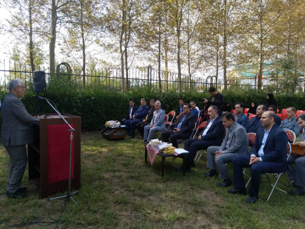
Initially, Dr. Sadigh Damghani Zadeh welcomed the guests and spoke about the importance of data and artificial intelligence in the development of agriculture and industry in the province. He also expressed the readiness of the Fouman Faculty of Engineering at Tehran University to collaborate further with the province’s institutions.
He mentioned that the Fouman Faculty of Engineering, as a representative of the top-tier university in Gilan Province, is committed to training engineers who can meet the needs of the industry. Considering great potentials of Gilan, the faculty is planning to implement provincial and even national and international development programs, including:
-Establishing a "AI Application in Food Security" Technology Park
-Developing a Virtual Reality Park
-Expanding free and skill-based engineering education
-Organizing national and international specialized industrial boot camps
Then, Dr. Rostami, Head of the Gilan Province Planning and Management Organization, highlighted the importance of accurate, up-to-date, and reliable data from geodynamic stations in scientific management and sustainable planning. He noted that nine GNSS stations had been established in Gilan so far, with plans to expand this number to 39 stations.
In support of his remarks, Dr. Seyedai, Vice President of the Organization and Budget Program and President of the National Cartographic Organization, emphasized that data governance is of great importance at the national and international levels today. He stated that as our understanding of urban, provincial, and national spaces becomes more comprehensive, our planning and management will improve. He further explained that more than 70 years ago, planning institutions in the country took steps to establish a specialized organization with the necessary equipment and facilities for a range of activities from map preparation to photography, hydrology, and station monitoring with modern techniques. Currently, there are about 600 GNSS stations across the country, monitoring changes in the Earth's surface, seismicity, faults, subsidence, and other applicable studies based on regional conditions. These stations have numerous applications in tourism, industry, infrastructure, etc., and their data is made available to other national organizations via the SDI system.
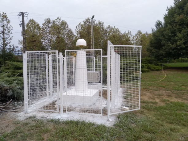
Then, Dr. Sedighi, Technical Deputy of the National Cartographic Organization, discussed specialized topics on mapping and spatial data from geodynamic stations. He explained that these networks, by continuously registering satellites and locations on Earth, enable the precise determination of spatial coordinates and provide continuous, accurate data while constantly monitoring the Earth's movements. They also offer analysis on infrastructure processes and predictions of geodynamic hazards.
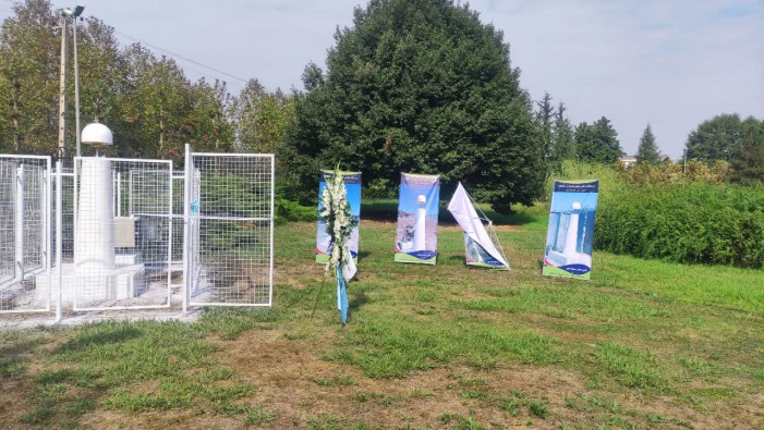
The ceremony also included a recognition of Dr. Sadigh Damghani Zadeh for his cooperation and dedication in executing this project at the faculty, as well as the other provincial managers, the opening of the station, and a visit to the faculty.


Your Comment :