
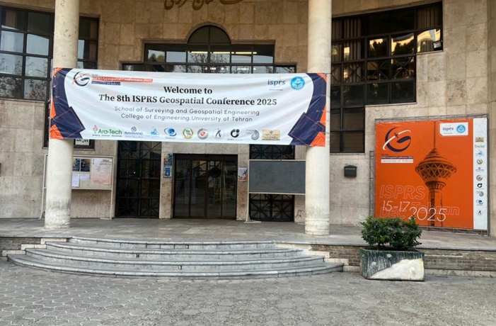
The 8th ISPRS GeoSpatial Conference 2025 hosted by the School of Surveying and Geospatial Engineering, was held from 15 to 17 December 2025
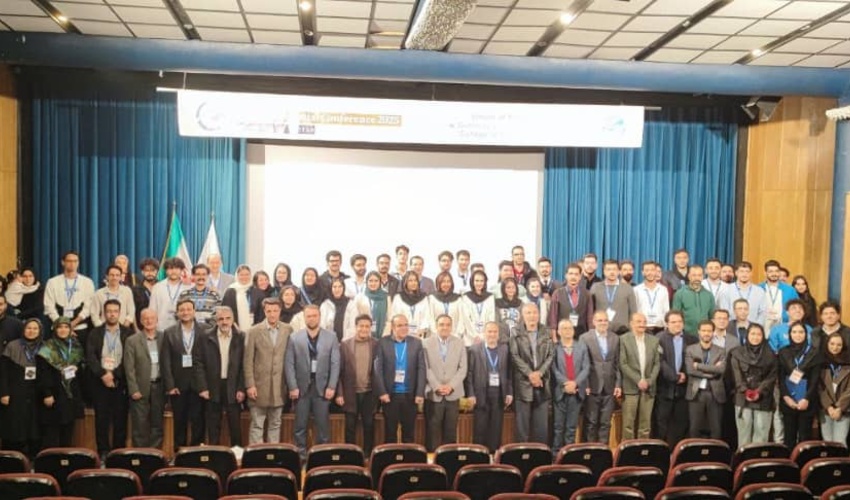
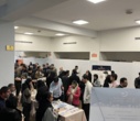
The 8th International Conference on Geospatial Information (ISPRS GeoSpatial Conference 2025) was held from 15 to 17 December 2025, hosted by the School of Surveying and Geospatial Engineering, University of Tehran, in collaboration with the International Society for Photogrammetry and Remote Sensing (ISPRS).
The conference aimed to strengthen international cooperation and to present innovative solutions to global challenges in a wide range of fields, including land surveying, geodesy, photogrammetry, remote sensing, GIS, cartography, global navigation satellite systems (GNSS), aerial surveying and LiDAR, hydrography and marine surveying, urban and land information systems, geospatial data science, engineering and structural surveying, cadaster and land administration, radar remote sensing, close-range and UAV photogrammetry, environmental studies, urban planning, agriculture, natural disaster management, sustainable development, and three-dimensional geospatial information modeling.
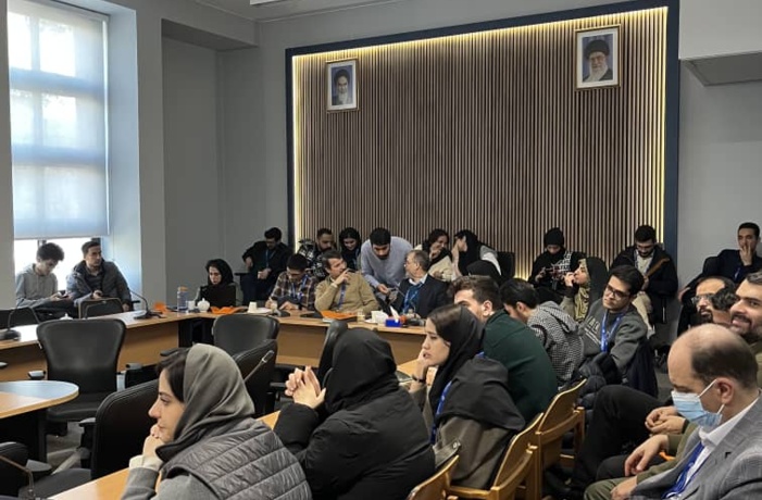
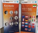
At the opening ceremony on 15 December 2025, Dr. Delavar, Chair of the Conference, Dr. Ghasemiyeh, Dean of the College of Engineering, and Dr. Majid Fakhri, Head of the National Cartographic Center of Iran, delivered their opening remarks. Subsequently, the keynote speaker of the conference, Professor Lena, President of ISPRS, presented her keynote address.
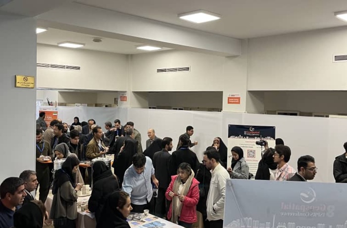
The conference program included scientific lectures, oral and poster presentations of specialized papers, training workshops, and professional courses, aimed at exchanging the latest scientific findings and achievements in the fields of geospatial information systems, remote sensing, photogrammetry, hydrography, and geodesy.
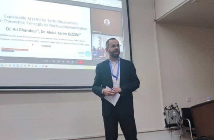
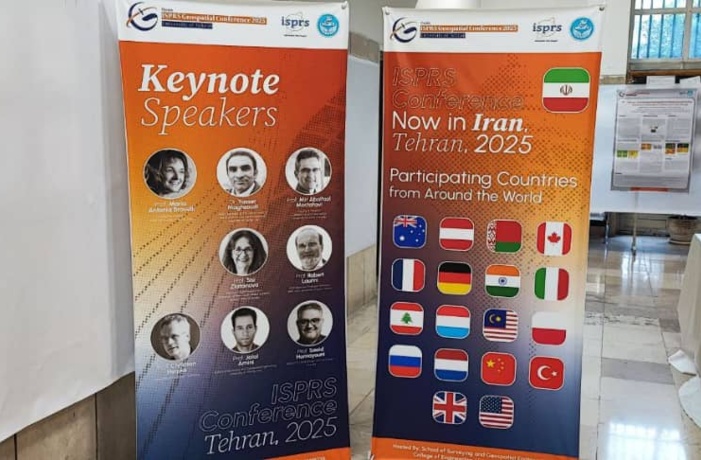
The conference was attended by a wide range of faculty members and researchers, distinguished national and international researchers, who participated as keynote speakers, members of the scientific and review committees, paper authors, and workshop instructors. Most keynote lectures were delivered online.
Participants from more than 17 countries, including Australia, Canada, China, Germany, France, India, Pakistan, Belarus, Luxembourg, Italy, Russia, the United Kingdom, the United States, Denmark, New Zealand, Lebanon, and Turkey, took part in the conference.
A total of 203 papers were submitted to the conference secretariat, of which 154 papers were accepted. Among the accepted papers, 62 were presented orally, and 92 were presented as poster presentations. In addition, nine keynote lectures (including eight international speakers and one national speaker) were delivered online on specialized topics.
At the closing ceremony, various programs were conducted, including live music performances, the announcement of best paper awards and winners of student competitions, and the presentation of certificates of appreciation and prizes. The members of the conference organizing committee were also formally acknowledged and appreciated for their contributions.

Your Comment :